|
There's a schoolhouse where? Roofline is visible through the trees in top section. Images from Google.
|
 |
School shown near red balloon. Topographic map cited from a 1981 geological survey.
|
 |
Schoolhouse not shown in a 1915 Dorchester Co. USDA Soil Survey map. Map found at SCDL.
|
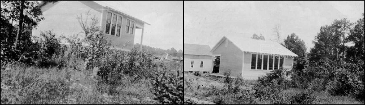
A search through the South Carolina School Insurance Photographs taken between 1935-1952 for Dorchester County was not successful-- I'd like to find historic photos eventually. Next, I checked a 1915 Dorchester County USDA Soil Survey map via the South Carolina Digital Library's collection. The school is not shown. I'd like to know if it was an white or African-American school-- I know it is not a Rosenwald School, at least. From the photos, the school appears to be a two-roomed schoolhouse with a hipped roofline. The entrance consists of two doors each leading into a large classroom. The classrooms are divided by paneled door partitions that can be pulled away or closed.
 |
| Interior of school. Photos by Carolina Heartstrings, 2011. |
 |
| Façade and side elevations. Photos by Carolina Heartstrings, 2011. |
More information about this school would be very welcome-- I will continue to hunt for more information about Delemars School. Please feel free to submit information and photographs, of this school or others, to RuralSchoolhouseSC@gmail.com. You are the strongest resource I have in finding and documenting rural schoolhouses! On that note, thank you to Alessa at Carolina HeartStrings!